Know where the edge cases live before you go looking for them.
Spatial intelligence is the layer that decides where physical evidence is worth collecting. Andromeda ranks environments by the conditions that break systems — terrain, weather, geometry, traffic, hazard, and season — so a finite testing budget goes where it changes a decision.
Andromeda selects the ground. Neicrone instruments it.
Geospatial targeting that knows where edge cases matter most.
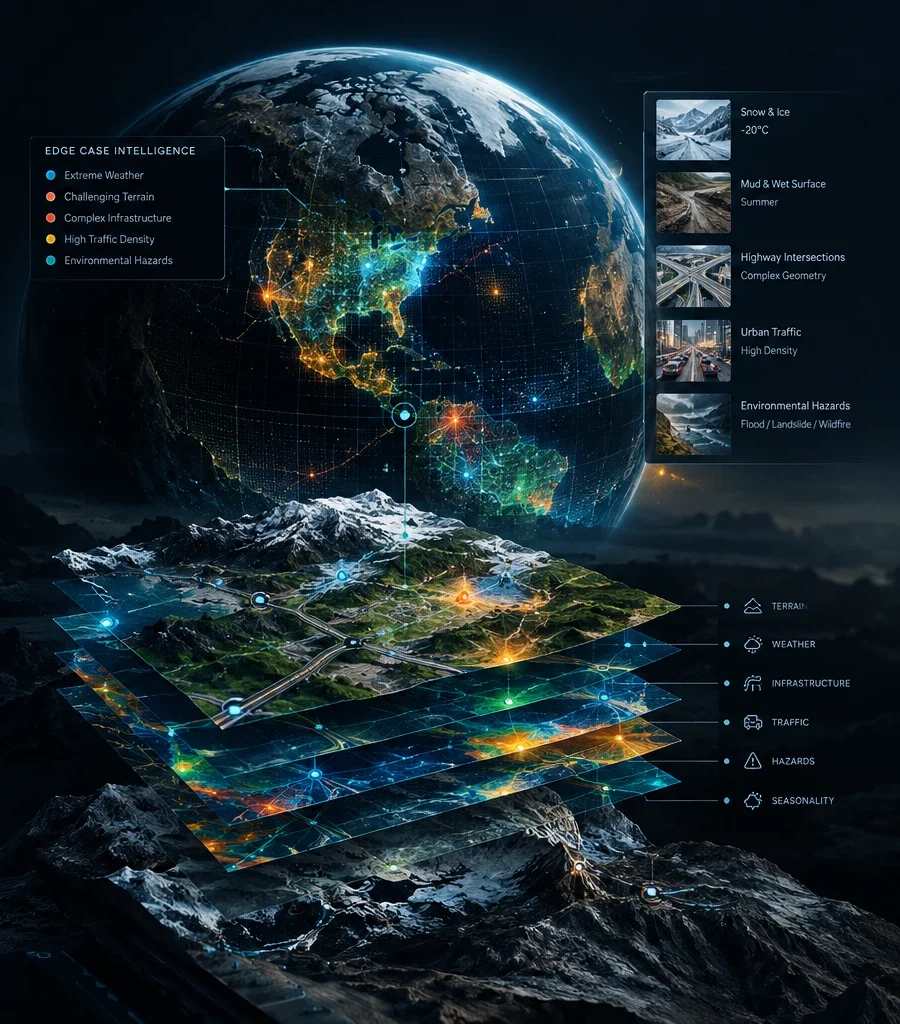
Where do edge cases live?
Your model has never seen mud in summer. It has not handled the intersection geometry of this highway. It has not operated in -20°C. You have a global deployment space but a finite collection budget.
Guessing which environments matter is expensive. Sampling everywhere is impossible.
Andromeda maps where evidence matters.
Andromeda is Neicrone's geospatial engine, designed to identify which physical environments matter for your deployment: which geographies carry unseen edge cases, and which terrains, weather patterns, traffic conditions, and hazard classes should lead your collection strategy.
- Terrain & Surface
- Weather & Climate
- Road & Intersection Geometry
- Traffic & Mobility
- Hazards & Environment
- Seasonal Variation
Andromeda selects the ground.
Neicrone instruments it.